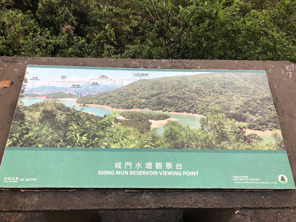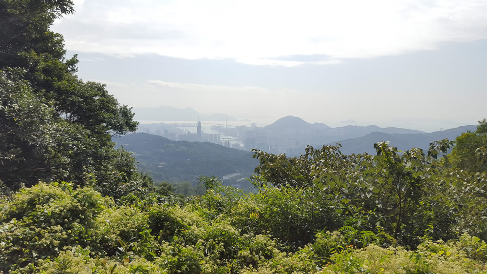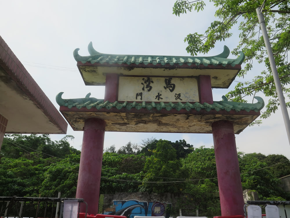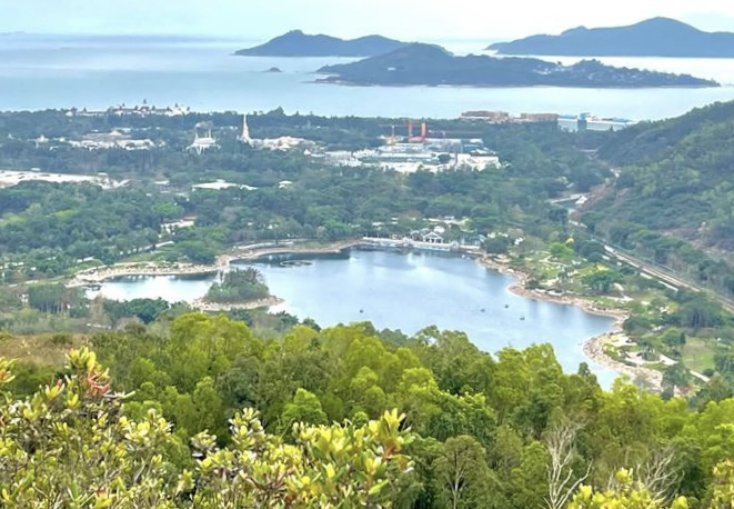
Shing Mun Country Park covers a total area of 1 400 ha stretching from Lead Mine Pass in the north, to the Shing Mun Road in the south, and from Tai Mo Shan in the west, to Grassy Hill and Needle Hill in the east. Shing Mun Reservoir, situated at the foot of the southeastern slopes of Tai Mo Shan, has long been popular with picnickers and hikers.
Apart from enjoying the barbeque and camping facilities, visitors can also tour around the hiking trails running through the Country Park, including the Pineapple Dam Nature Trail, MacLehose Trail (Section 7) and Wilson Trail (Section 7); and visit Shing Mun Redoubt and other relics of World War II including trenches, tunnels and pillboxes on the way from MacLehose Trail (Section 6) at Shing Mun Country Park to Kam Shan Country Park.
Shing Mun Redoubt was rated Grade 2 historic building in 2009.
Website:
https://www.afcd.gov.hk/english/country/cou_vis/cou_vis_cou/cou_vis_cou_sm/cou_vis_cou_sm.html
 Transport
Shing Mun Reservoir is not directly accessible by public transport. To plan your journey, you may click the “Journey” button in the Google Map below.
The information provided in this website is for reference only, and is subject to change in accordance with the announcement of relevant Departments or organisations. The Government does not make any express or implied warranty as to the accuracy, adequacy, reliability or timeliness in relation to such contents, and will not be liable for any errors in, or omissions from any such information. Before planning your journey, please pay attention to the latest announcements of relevant departments or agencies, or contact them for enquiries of the latest opening status and opening hours of the attractions.


